Some hikes are worth remembering because of the summit. This one stayed with me for everything along the way: forest roads, small creeks, rocky steps, low alpine vegetation and a remarkable view across the Coquihalla peaks.
Getting to the trail
For this outing I approached from Highway 5, taking the Coquihalla Lakes exit (228) and following Upper Coldwater Road west toward the Zum Peak Recreation Site. My notes placed the recreation site roughly eight kilometres along the road.
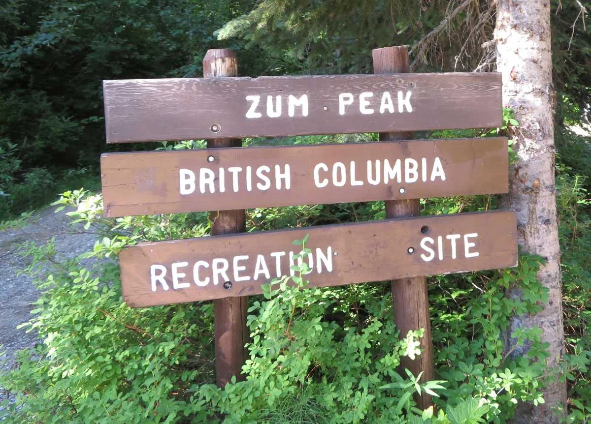
In my 2020 notes I described an additional four to five kilometres of rough road that could be driven in a suitable four-wheel-drive vehicle, but warned about the narrowing track and branches scratching the paint. That is a historical observation, not a recommendation to drive it today. Road condition and permitted motor-vehicle access must be checked again.
Forest roads, creek crossings and muddy sections
Beyond the drivable section, the day continued on foot along the forest service road. Toward its end I recorded two creek crossings. Their water levels were uneven; some sections could reach below knee height when flow was stronger. It is exactly the sort of place where a route description can become outdated with changing weather and seasons.
Past the forest, muddy and slippery ground made footing less predictable. In the original journal I suggested gaiters as a useful option for those wet stretches. I would still treat this as an alpine trip that calls for suitable footwear and independent route-finding preparation, rather than a maintained urban trail.
Granite, meadows and the surrounding peaks
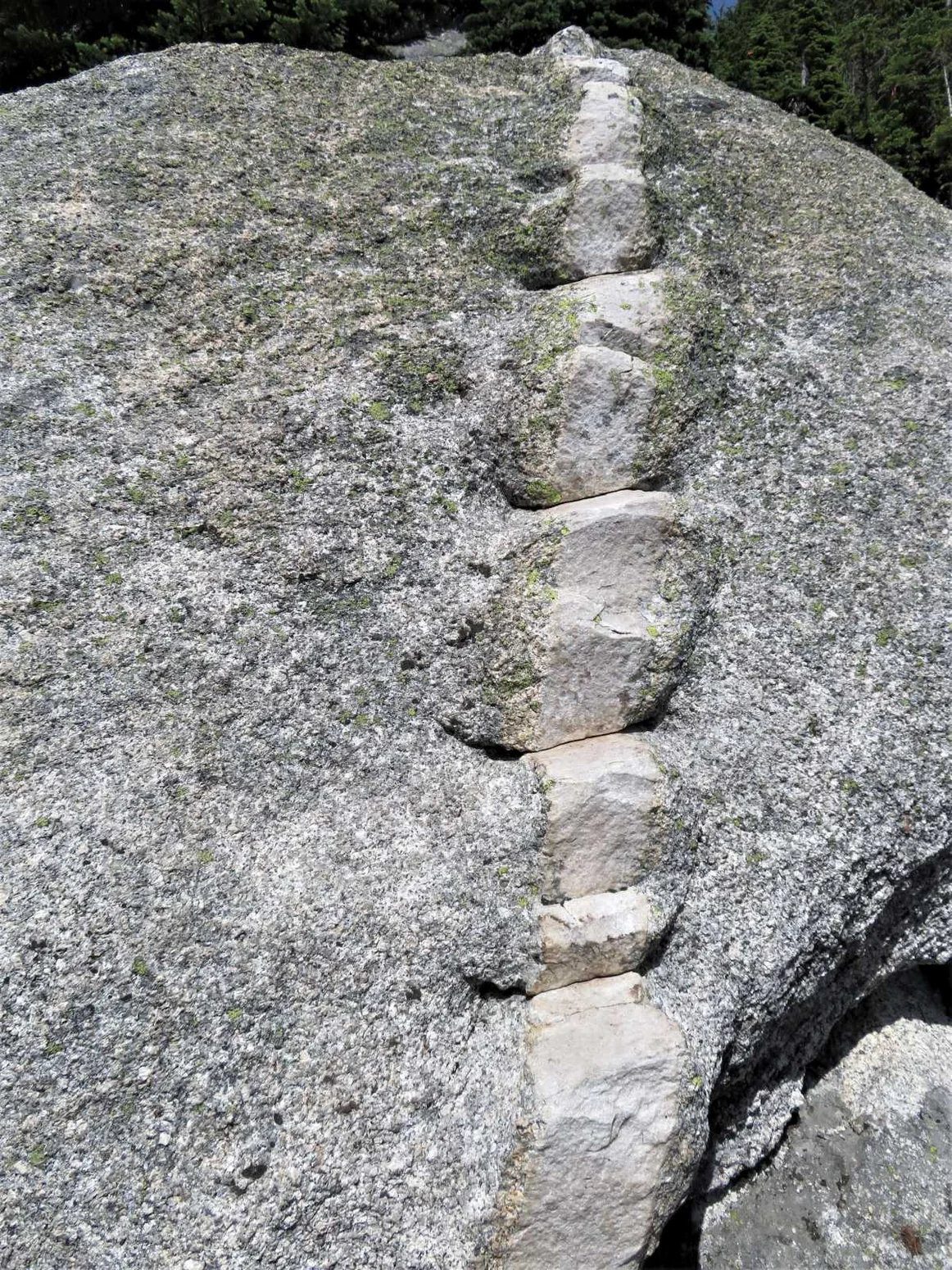
The scenery became progressively more striking as the route entered the boulder fields. One memorable rock formation looked like a natural staircase cut across an intrusion. Higher up, the vegetation changed to stunted subalpine trees, heather and open meadow.
Vicuña’s steep pyramid dominated one side of the view, while the more elongated shape of Guanaco lay to the northwest. The way across the open bowl passed patches of low trees and grasses, with granite slabs and boulders breaking up the route.
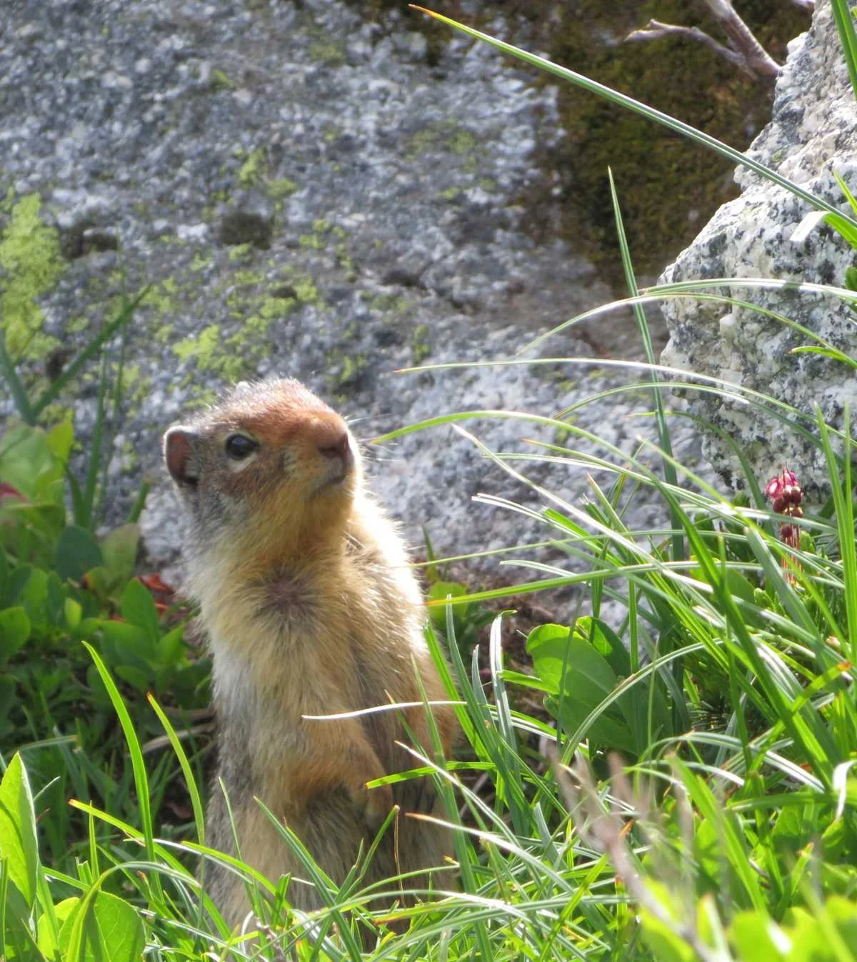
During the hike I also spotted a Columbian ground squirrel. A small encounter like that is part of what makes an outdoor day feel personal — and why I like keeping photographic field notes rather than recording only a summit statistic.
Guanaco’s higher slopes and the views
A broad heather slope dotted with boulders and smaller slabs led toward the high terrain between Vicuña and Guanaco. Looking outward, I noted layers of ridges and wooded slopes extending into the Okanagan Highlands. The summit area offered a wide panorama across neighbouring peaks.
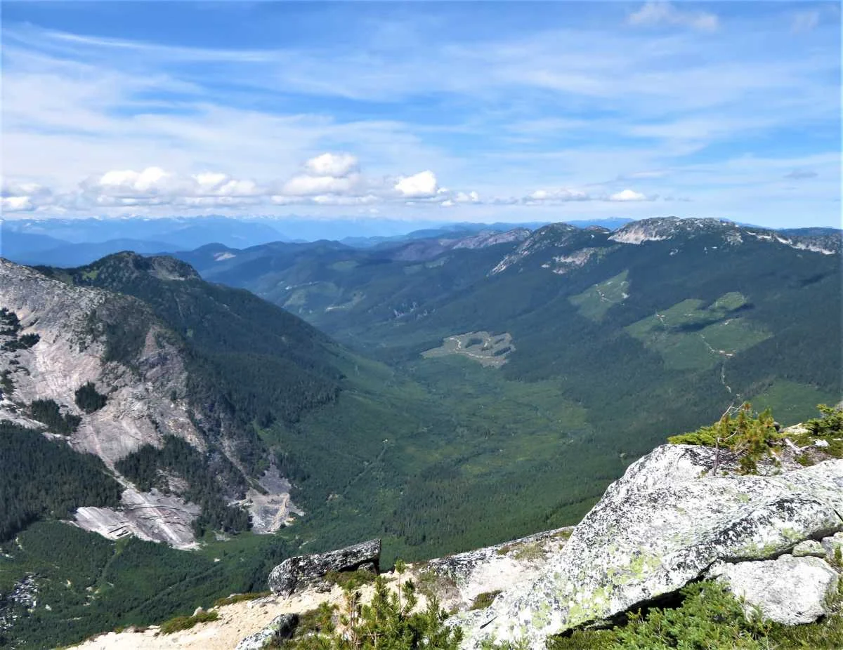
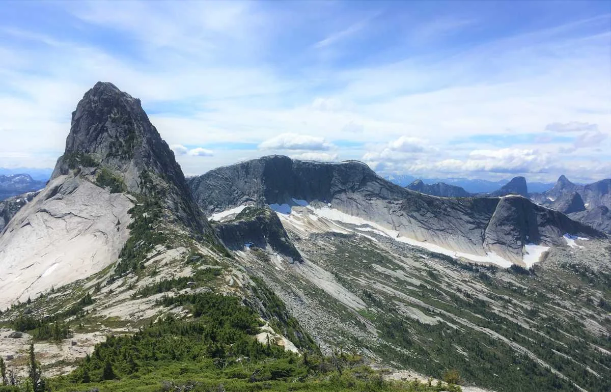
These rugged forms also explain the mountain names: Guanaco, Vicuña, Alpaca and Llama refer to South American camelids. More than a geological spectacle, the group gives this part of the Coquihalla a distinctive identity.
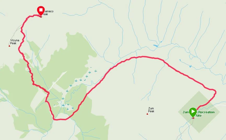
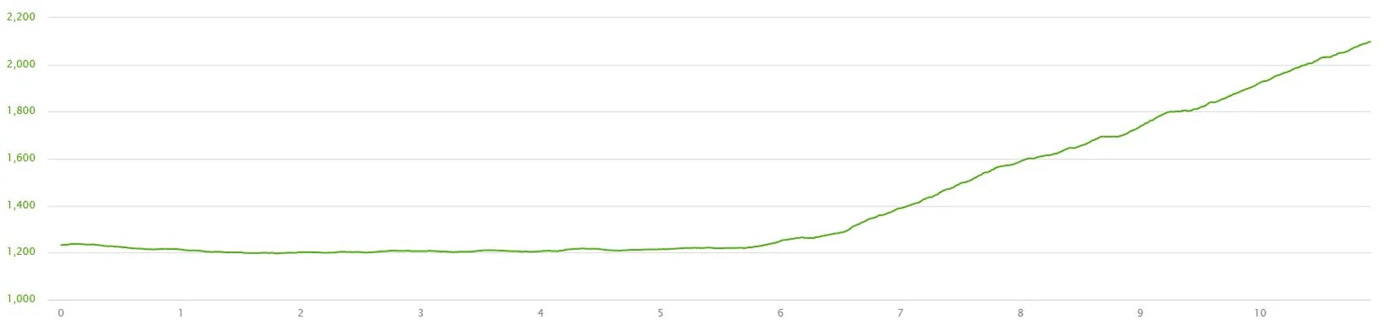
Map and recorded elevation profile
The images below are taken from my original 2020 trail journal. They document that outing and should not replace an up-to-date map, GPS track, local restrictions or weather information.
Before you go
My strongest advice is to use this page as an account of what the trip was like, not as a live statement about trail or road conditions. Check the official BC Parks Coquihalla Summit information and B.C. recreation alerts for area advisories, and review current road conditions and weather separately.
If you enjoy granite peaks, changing alpine vegetation and long mountain views, Guanaco is a compelling place to learn about. The surrounding scenery is what I remember most clearly from the day.
Photography and field notes: Outdoors with Juan. All images on this preview page come from the original archive; photos showing other hikers have been intentionally omitted.