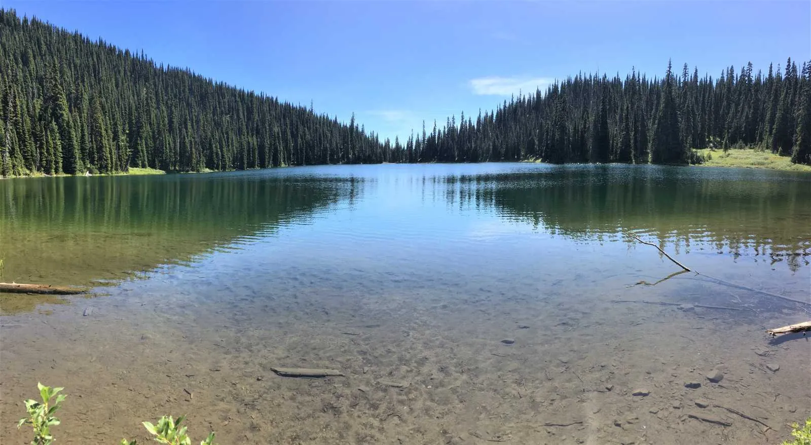
Poland Lake offered a different kind of mountain day: a steady walk through the ski-area landscape, then quiet water and forest, with weather providing a surprise on the way back.
Starting near Gibson Pass
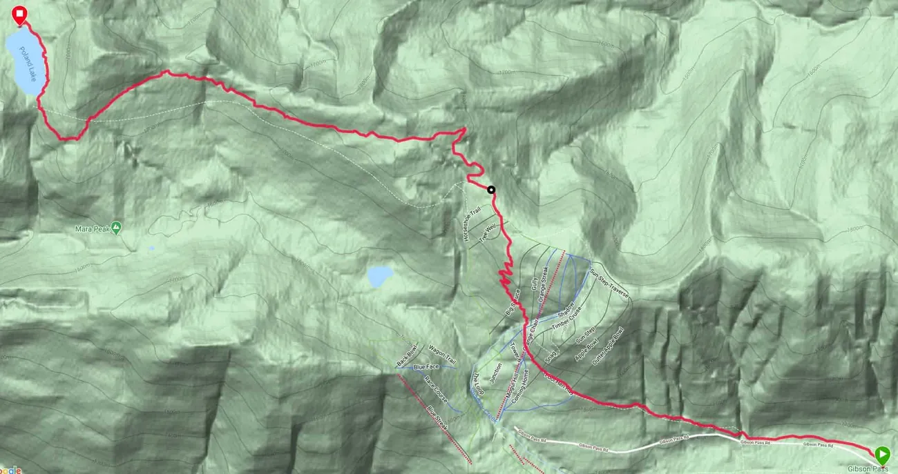
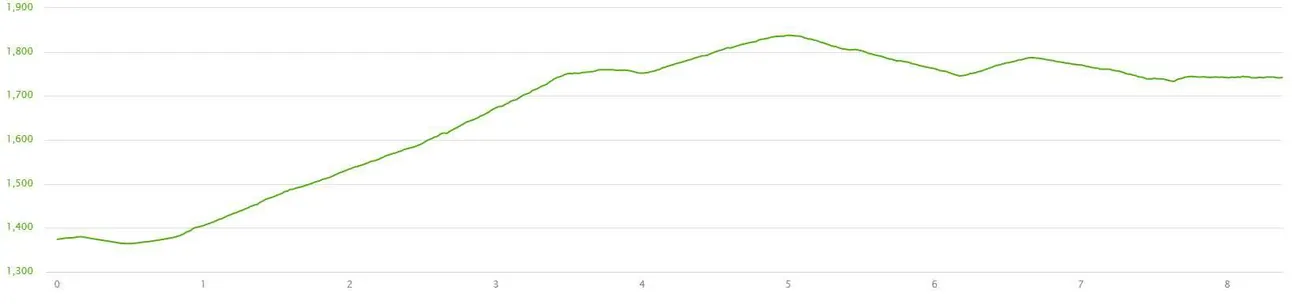
My August 30, 2020 notes begin at the gate on Gibson Pass Road at the west end of Strawberry Flats. Much of the early route followed a wide access track. I recorded roughly half a kilometre of relatively level walking before the slope increased, and a creek near the 0.8-kilometre point.
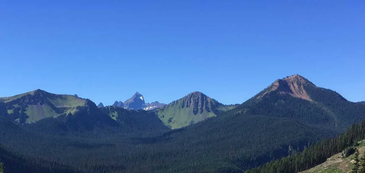
After passing beneath the old chairlift infrastructure, the track climbed through switchbacks. The surrounding slopes opened up to views across the mountains of Manning Park.
Across the high ground
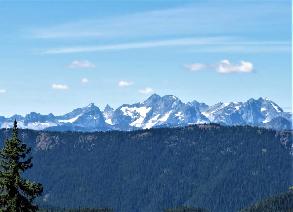
By about four kilometres, the route had climbed close to the upper ski-area terrain. From there I described gentler ascents and descents toward Poland Lake, with occasional viewpoints toward the North Cascades in Washington.
The lake and its quieter details
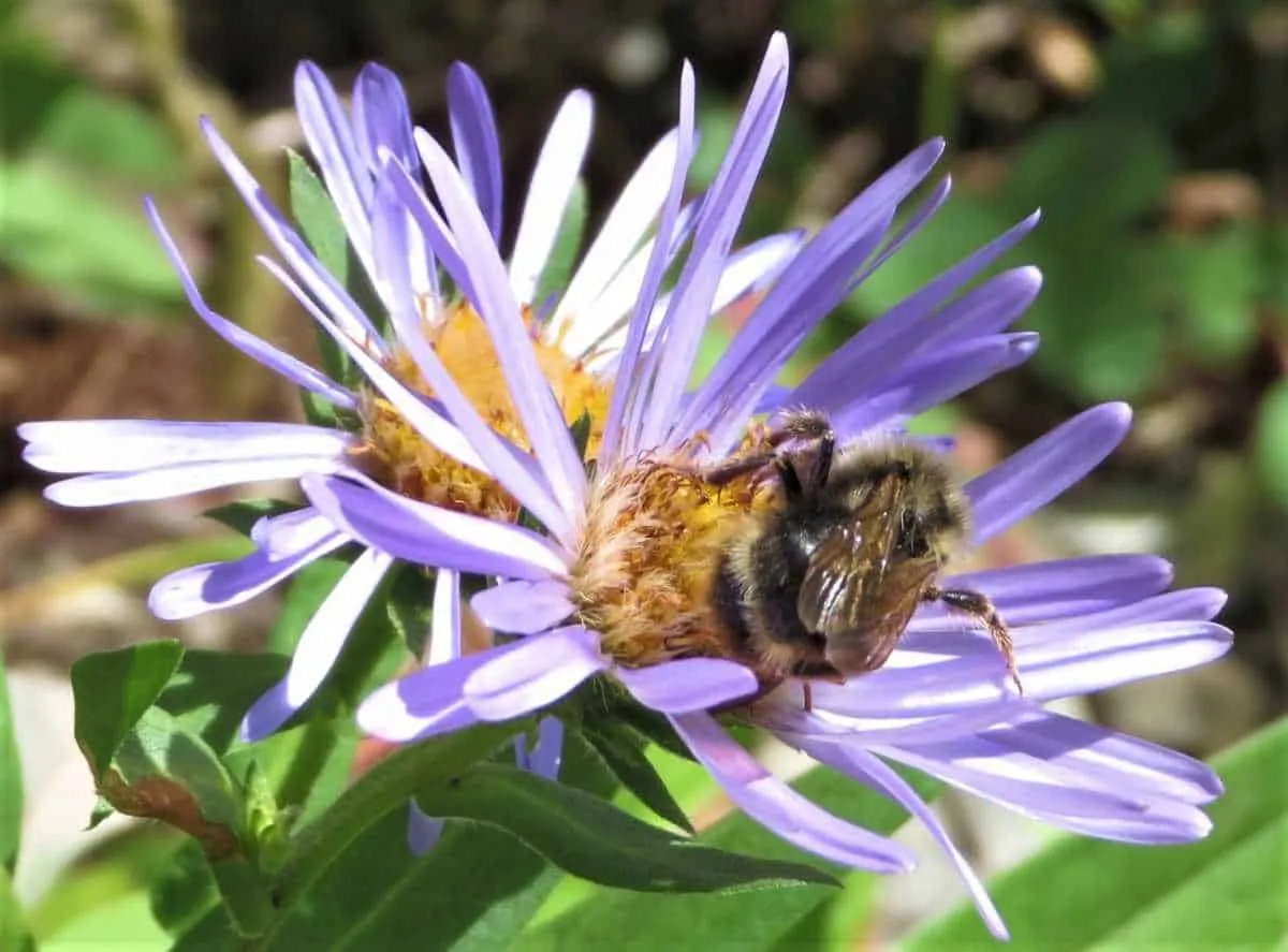
The lake was calm, with a tree-lined shore and places to pause beside the water. I also noted that some flowers in this area appeared later than those higher in the subalpine meadows. My visit was after the peak display I had hoped to see, but there was still life in the vegetation along the route.
On the lake's far side I photographed a wilderness shelter. My 2020 journal describes routes around both shores, but these details should not be relied on without checking the current trail layout and park information.
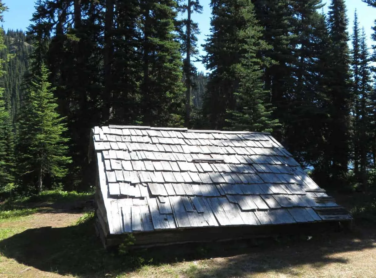
An unexpected sky on the way back
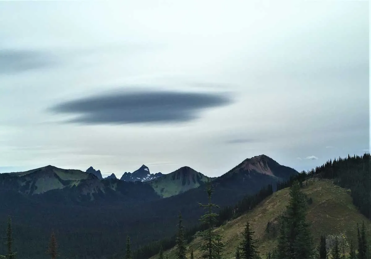
The return brought changing weather and a cloud formation that caught my attention: a smooth, lens-shaped cloud suspended over the mountains. Lenticular clouds form in suitable atmospheric waves downwind of terrain. For me, it was a memorable finish to a peaceful day.
Route map and elevation profile from my archive
These images are preserved from the original trip report. They show my recorded outing, not a checked, current route. Confirm access, trail status, conditions and navigation independently before heading out.
Before you go
This is an account of my experience, not up-to-date trail directions. Review BC Parks where applicable, provincial recreation advisories, local trail-management notices and current weather before setting out. Choose a route that matches your conditions, skills and equipment.
Original words and photographs: Outdoors with Juan. Selected landscape and nature photographs contain no identifiable people other than the site author.